
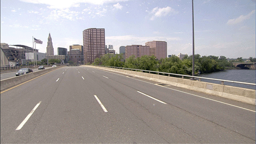
The Photolog Unit uses two ARAN9000 vehicles to collect high definition images and roadway condition, geometric and position data every 16.4 feet (5-meters) for the entire 4000-mile state-maintained roadway network.
![]()
-
To annually photolog the entire state-maintained highway system and to periodically photolog the highway-ramp system using the latest roadway image and data collection technology.
-
To annually update the photolog servers at ConnDOT and at the University of Connecticut. Providing access for CTDOT employees, FHWA offices in Glastonbury,CT and at Connecticut State Police Headquarters with forward-view Right-of-Way (ROW) and Pavement images from the entire highway system and corresponding highway condition, GPS, and geometric data.
-
To annually update the HPMS image library of the HPMS local road system for the Department.
-
To continually monitor photolog image-library and data usage and determine estimated cost savings through usage documentation.
-
To ascertain user and prospective-user needs, as well as provide on-site familiarization and maintenance of photolog image and data retrieval technology.
-
To support the Department's photolog viewing software and hardware, as required.
-
To provide certified photolog images for purposes of litigation, as requested.
-
To annually collect and process horizontal curvature and grade data for Connecticut's submission to the FHWA Highway Performance Monitoring System (HPMS).
-
To provide specialized image and data collection as required.
-
To investigate new technologies with the potential to further improve photolog services and operations, and to develop and implement improvements wherever possible