
PM2.5 Data Files
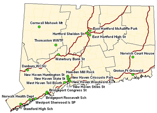
PM2.5 Daily Data Files (select links below to download. All files are .csv and may be opened in Microsoft Excel.)
| Site |
Start Date |
End Date |
| Bridgeport-Roosevelt School-Park Ave |
01/01/07 |
12/31/11 |
| Danbury-Parking Garage-WCSU |
01/01/07 |
12/31/11 |
| Norwalk-Health Department-East Ave |
01/01/07 |
12/31/11 |
| Westport-Sherwood Island State Park |
01/01/07 |
12/31/11 |
|
01/01/07 |
12/31/11 | |
| Cornwall-Mohawk Mt |
01/01/07 |
12/31/11 |
| New Haven-Criscuolo Park-James St |
01/01/07 |
12/31/11 |
| New Haven-Shed-State St |
01/01/07 |
|
| Waterbury-Shed-Bank St |
01/01/07 |
12/31/11 |
| Norwich-Court House-Court House Sq |
01/01/07 |
12/31/11 |
Notes: Data files consist of daily average 24-hour PM2.5 concentrations. All valid federal reference method (FRM) values are included. In most cases, the FRM samples are scheduled for once every three days, with some sites scheduled for every day sampling. When available, daily composite 24-hour averages of hourly (continuous) PM2.5 data are used to fill in days with missing FRM samples. Because the continuous PM2.5 tends to be biased high compared th the FRM data, linear adjustment factors were applied to the continuous data based on site-specific correlations with the FRM data. For sites without collocated FRM's, an average adjustment factor of 0.934*PM2.5-0.315 was used.
Content Last Updated on October 1, 2012