
Home Page Image
Welcome to the
Connecticut Siting Council
[$RANDOM$]
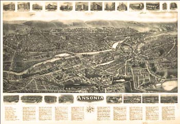
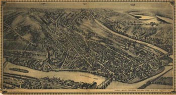
View of Ansonia, circa 1921
The historical maps appearing above are provided courtesy of The University of Connecticut Map and Geographic Information Center.
The historical maps appearing above are provided courtesy of The University of Connecticut Map and Geographic Information Center.
[$RANDOM NEXT$]
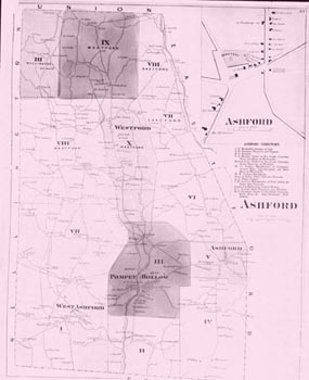
Map of Ashford, circa 1868
The historical maps appearing above are provided courtesy of The University of Connecticut Map and Geographic Information Center.
[$RANDOM NEXT$]
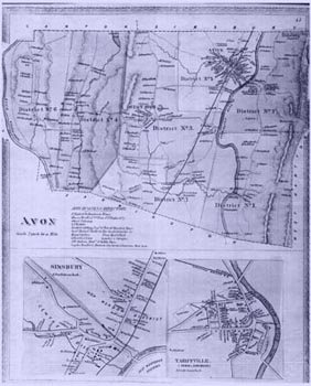
Map of Avon, circa 1868
The historical maps appearing above are provided courtesy of The University of Connecticut Map and Geographic Information Center.
[$RANDOM NEXT$]
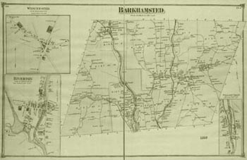
Map of Barkhamsted, circa 1868
The historical maps appearing above are provided courtesy of The University of Connecticut Map and Geographic Information Center.
[$RANDOM NEXT$]
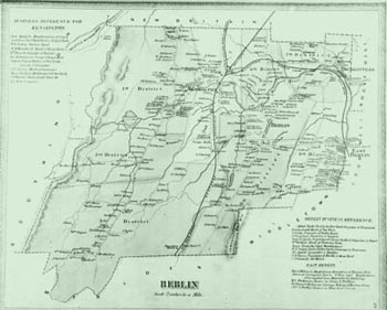
Map of Berlin, circa 1868
The historical maps appearing above are provided courtesy of The University of Connecticut Map and Geographic Information Center.
[$RANDOM NEXT$]
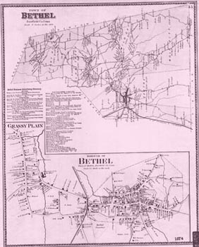
Map of Bethel, circa 1874
The historical maps appearing above are provided courtesy of The University of Connecticut Map and Geographic Information Center.
[$RANDOM NEXT$]
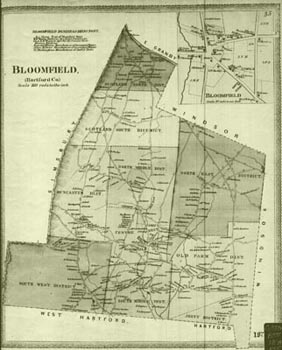
Map of Bloomfield, circa 1874
The historical maps appearing above are provided courtesy of The University of Connecticut Map and Geographic Information Center.
[$RANDOM NEXT$]
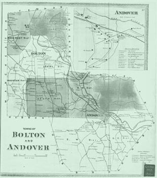
Map of Bolton and Andover, circa 1868
The historical maps appearing above are provided courtesy of The University of Connecticut Map and Geographic Information Center.
[$RANDOM NEXT$]
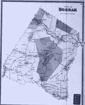
Map of Bozrah, circa 1868
The historical maps appearing above are provided courtesy of The University of Connecticut Map and Geographic Information Center.
[$RANDOM NEXT$]
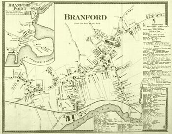
Map of Branford, circa 1868
The historical maps appearing above are provided courtesy of The University of Connecticut Map and Geographic Information Center.
[$RANDOM NEXT$]
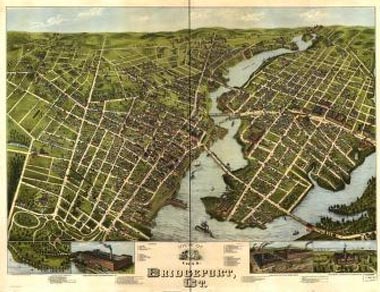
View of Bridgeport, circa 1875
The historical maps appearing above are provided courtesy of The University of Connecticut Map and Geographic Information Center.
[$RANDOM NEXT$]
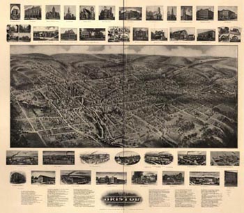
View of Bristol, circa 1874
The historical maps appearing above are provided courtesy of The University of Connecticut Map and Geographic Information Center.
[$RANDOM NEXT$]
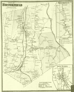
Map of Brookfield, circa 1868
The historical maps appearing above are provided courtesy of The University of Connecticut Map and Geographic Information Center.
[$RANDOM NEXT$]
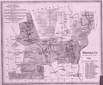
Map of Brooklyn, circa 1868
The historical maps appearing above are provided courtesy of The University of Connecticut Map and Geographic Information Center.
[$RANDOM NEXT$]
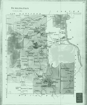
Map of Burlington, circa 1868
The historical maps appearing above are provided courtesy of The University of Connecticut Map and Geographic Information Center.
[$RANDOM NEXT$]
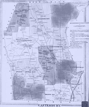
Map of Canterbury, circa 1868
The historical maps appearing above are provided courtesy of The University of Connecticut Map and Geographic Information Center.
[$RANDOM NEXT$]
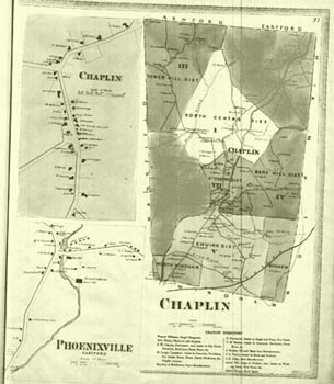
Map of Chaplin, circa 1868
The historical maps appearing above are provided courtesy of The University of Connecticut Map and Geographic Information Center.
[$RANDOM NEXT$]
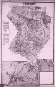
Map of Cheshire, circa 1868
The historical maps appearing above are provided courtesy of The University of Connecticut Map and Geographic Information Center.
[$RANDOM NEXT$]
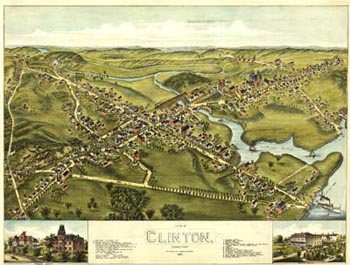
View of Clinton, circa 1868
The historical maps appearing above are provided courtesy of The University of Connecticut Map and Geographic Information Center.
[$RANDOM NEXT$]
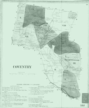
Map of Coventry, circa 1868
The historical maps appearing above are provided courtesy of The University of Connecticut Map and Geographic Information Center.
[$RANDOM NEXT$]
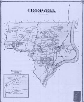
Map of Cromwell, circa 1850s
The historical maps appearing above are provided courtesy of The University of Connecticut Map and Geographic Information Center.
[$RANDOM NEXT$]
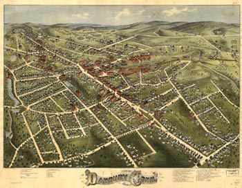
View of Danbury, circa 1875
The historical maps appearing above are provided courtesy of The University of Connecticut Map and Geographic Information Center.
[$RANDOM NEXT$]
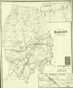
Map of Darien, 1874
The historical maps appearing above are provided courtesy of The University of Connecticut Map and Geographic Information Center.
[$RANDOM NEXT$]
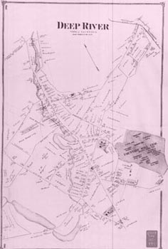
Map of Deep River, circa 1868
The historical maps appearing above are provided courtesy of The University of Connecticut Map and Geographic Information Center.
[$RANDOM NEXT$]
View of Derby, circa 1920
The historical maps appearing above are provided courtesy of The University of Connecticut Map and Geographic Information Center.
[$RANDOM NEXT$]
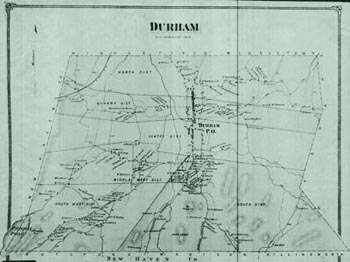
Map of Durham, circa 1868
The historical maps appearing above are provided courtesy of The University of Connecticut Map and Geographic Information Center.
[$RANDOM NEXT$]
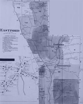
Map of Eastford, circa 1868
The historical maps appearing above are provided courtesy of The University of Connecticut Map and Geographic Information Center.
[$RANDOM NEXT$]
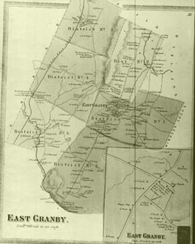
Map of East Granby, circa 1868
The historical maps appearing above are provided courtesy of The University of Connecticut Map and Geographic Information Center.
[$RANDOM NEXT$]
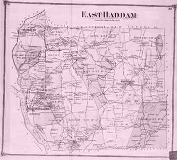
Map of East Haddam, circa 1868
The historical maps appearing above are provided courtesy of The University of Connecticut Map and Geographic Information Center.
[$RANDOM NEXT$]
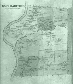
Map of East Hartford, circa 1868
The historical maps appearing above are provided courtesy of The University of Connecticut Map and Geographic Information Center.
[$RANDOM NEXT$]
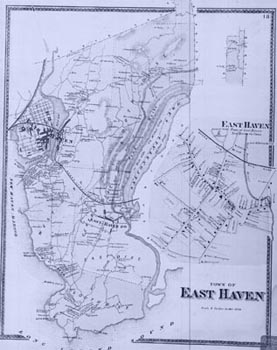
Map of East Haven, circa 1868
The historical maps appearing above are provided courtesy of The University of Connecticut Map and Geographic Information Center.
[$RANDOM NEXT$]
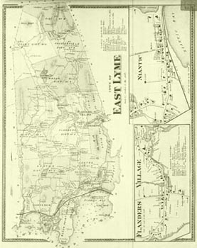
Map of East Lyme, circa 1868
The historical maps appearing above are provided courtesy of The University of Connecticut Map and Geographic Information Center.
[$RANDOM NEXT$]
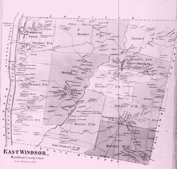
Map of East Windsor, circa 1868
The historical maps appearing above are provided courtesy of The University of Connecticut Map and Geographic Information Center.
[$RANDOM NEXT$]
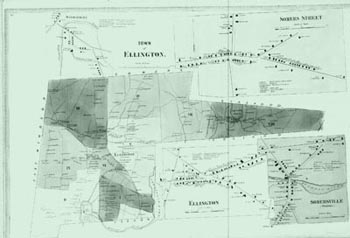
Map of Ellington, circa 1868
The historical maps appearing above are provided courtesy of The University of Connecticut Map and Geographic Information Center.
[$RANDOM NEXT$]
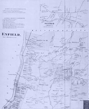
Map of Enfield, circa 1850s
The historical maps appearing above are provided courtesy of The University of Connecticut Map and Geographic Information Center.
[$RANDOM NEXT$]
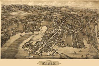
View of Essex, circa 1881
The historical maps appearing above are provided courtesy of The University of Connecticut Map and Geographic Information Center.
[$RANDOM NEXT$]
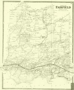
Map of Fairfield, circa 1850s
The historical maps appearing above are provided courtesy of The University of Connecticut Map and Geographic Information Center.
[$RANDOM NEXT$]
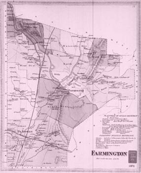
Map of Farmington, circa 1874
The historical maps appearing above are provided courtesy of The University of Connecticut Map and Geographic Information Center.
[$RANDOM NEXT$]
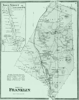
Map of Franklin, circa 1868
The historical maps appearing above are provided courtesy of The University of Connecticut Map and Geographic Information Center.
[$RANDOM NEXT$]
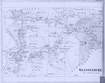
Map of Glastonbury, circa 1874
The historical maps appearing above are provided courtesy of The University of Connecticut Map and Geographic Information Center.
[$RANDOM NEXT$]
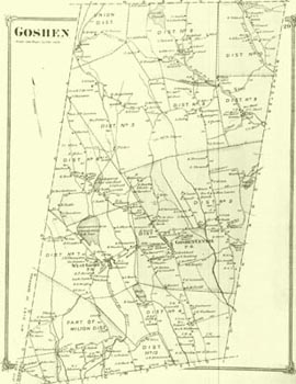
Map of Goshen, circa 1874
The historical maps appearing above are provided courtesy of The University of Connecticut Map and Geographic Information Center.
[$RANDOM NEXT$]
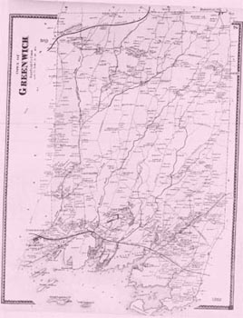
Map of Greenwich, circa 1868
The historical maps appearing above are provided courtesy of The University of Connecticut Map and Geographic Information Center.
[$RANDOM NEXT$]
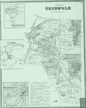
Map of Griswold, circa 1868
The historical maps appearing above are provided courtesy of The University of Connecticut Map and Geographic Information Center.
[$RANDOM NEXT$]
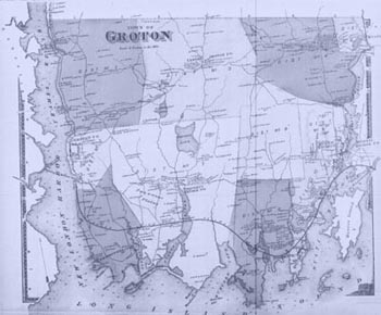
Map of Groton, circa 1868
The historical maps appearing above are provided courtesy of The University of Connecticut Map and Geographic Information Center.
[$RANDOM NEXT$]
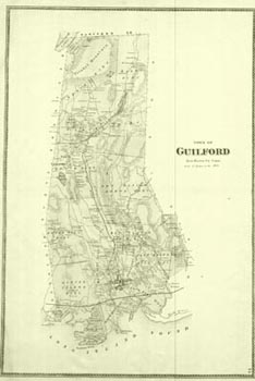
Map of Guilford, circa 1868
The historical maps appearing above are provided courtesy of The University of Connecticut Map and Geographic Information Center.
[$RANDOM NEXT$]
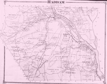
Map of Haddam, circa 1868
The historical maps appearing above are provided courtesy of The University of Connecticut Map and Geographic Information Center.
[$RANDOM NEXT$]
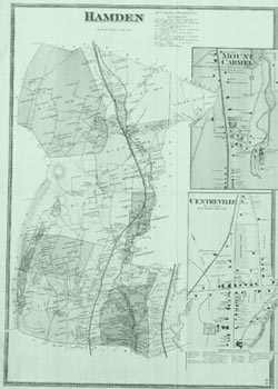
Map of Hamden, circa 1868
The historical maps appearing above are provided courtesy of The University of Connecticut Map and Geographic Information Center.
[$RANDOM NEXT$]
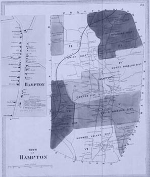
Map of Hampton, circa 1868
The historical maps appearing above are provided courtesy of The University of Connecticut Map and Geographic Information Center.
[$RANDOM NEXT$]
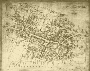
Map of Hartford, circa 1902
The historical maps appearing above are provided courtesy of The University of Connecticut Map and Geographic Information Center.
[$RANDOM NEXT$]
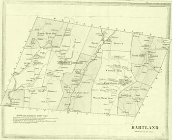
Map of Hartland, circa 1868
The historical maps appearing above are provided courtesy of The University of Connecticut Map and Geographic Information Center.
[$RANDOM NEXT$]
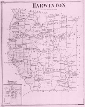
Map of Harwinton, circa 1868
The historical maps appearing above are provided courtesy of The University of Connecticut Map and Geographic Information Center.
[$RANDOM NEXT$]
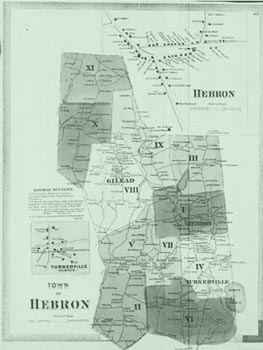
Map of Hebron, circa 1868
The historical maps appearing above are provided courtesy of The University of Connecticut Map and Geographic Information Center.
[$RANDOM NEXT$]
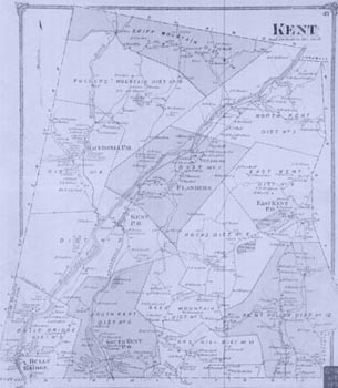
Map of Kent, circa 1868
The historical maps appearing above are provided courtesy of The University of Connecticut Map and Geographic Information Center.
[$RANDOM NEXT$]
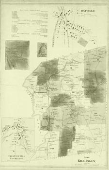
Map of Killingly, circa 1868
The historical maps appearing above are provided courtesy of The University of Connecticut Map and Geographic Information Center.
[$RANDOM NEXT$]
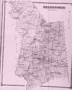
Map of Killingworth, circa 1868
The historical maps appearing above are provided courtesy of The University of Connecticut Map and Geographic Information Center.
[$RANDOM NEXT$]
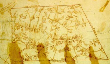
Map of Lebanon, circa 1772
The historical maps appearing above are provided courtesy of The University of Connecticut Map and Geographic Information Center.
[$RANDOM NEXT$]
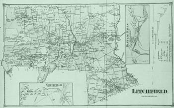
Map of Litchfield, circa 1868
The historical maps appearing above are provided courtesy of The University of Connecticut Map and Geographic Information Center.
[$RANDOM NEXT$]
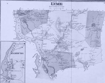
Map of Lyme, circa 1868
The historical maps appearing above are provided courtesy of The University of Connecticut Map and Geographic Information Center.
[$RANDOM NEXT$]
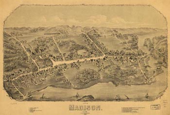
View of Madison, circa 1881
The historical maps appearing above are provided courtesy of The University of Connecticut Map and Geographic Information Center.
[$RANDOM NEXT$]
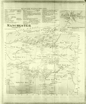
Map of Manchester, circa 1868
The historical maps appearing above are provided courtesy of The University of Connecticut Map and Geographic Information Center.
[$RANDOM NEXT$]
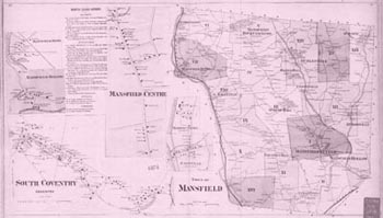
Map of Mansfield, circa 1874
The historical maps appearing above are provided courtesy of The University of Connecticut Map and Geographic Information Center.
[$RANDOM NEXT$]
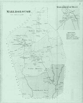
Map of Marlborough, circa 1868
The historical maps appearing above are provided courtesy of The University of Connecticut Map and Geographic Information Center.
[$RANDOM NEXT$]
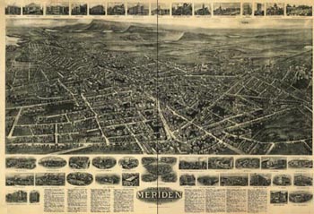
View of Meriden, circa 1918
The historical maps appearing above are provided courtesy of The University of Connecticut Map and Geographic Information Center.
[$RANDOM NEXT$]
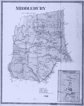
Map of Middlebury, circa 1868
The historical maps appearing above are provided courtesy of The University of Connecticut Map and Geographic Information Center.
[$RANDOM NEXT$]
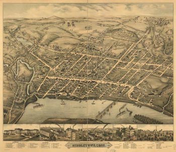
View of Middletown, circa 1877
The historical maps appearing above are provided courtesy of The University of Connecticut Map and Geographic Information Center.
[$RANDOM NEXT$]
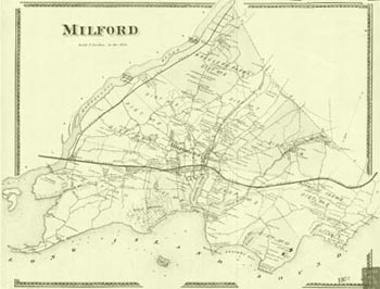
Map of Milford, circa 1874
The historical maps appearing above are provided courtesy of The University of Connecticut Map and Geographic Information Center.
[$RANDOM NEXT$]
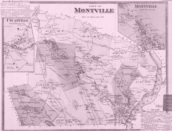
Map of Montville, circa 1868
The historical maps appearing above are provided courtesy of The University of Connecticut Map and Geographic Information Center.
[$RANDOM NEXT$]
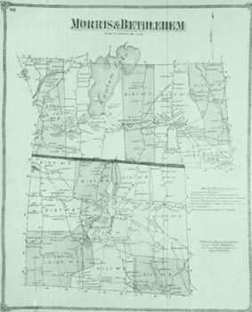
Map of Morris and Bethlehem, circa 1868
The historical maps appearing above are provided courtesy of The University of Connecticut Map and Geographic Information Center.
[$RANDOM NEXT$]
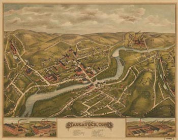
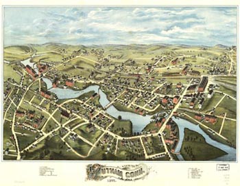
View of Naugatuck, circa 1877
The historical maps appearing above are provided courtesy of The University of Connecticut Map and Geographic Information Center.
[$RANDOM NEXT$]
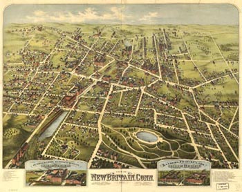
View of New Britain, circa 1875
The historical maps appearing above are provided courtesy of The University of Connecticut Map and Geographic Information Center.
[$RANDOM NEXT$]
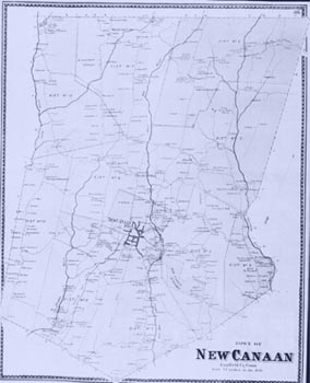
Map of New Canaan, circa 1868
The historical maps appearing above are provided courtesy of The University of Connecticut Map and Geographic Information Center.
[$RANDOM NEXT$]
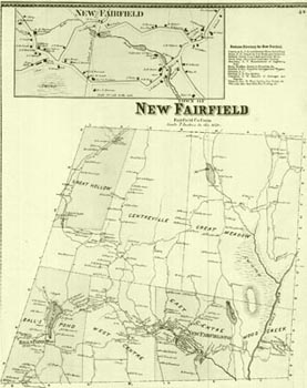
Map of New Fairfield, circa 1868
The historical maps appearing above are provided courtesy of The University of Connecticut Map and Geographic Information Center.
[$RANDOM NEXT$]
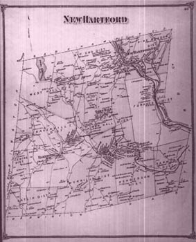
Map of New Hartford, circa 1868
The historical maps appearing above are provided courtesy of The University of Connecticut Map and Geographic Information Center.
[$RANDOM NEXT$]
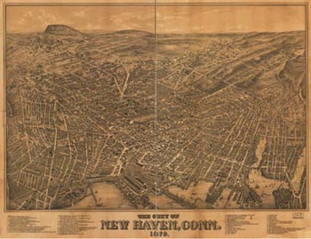
View of New Haven, circa 1879
The historical maps appearing above are provided courtesy of The University of Connecticut Map and Geographic Information Center.
[$RANDOM NEXT$]
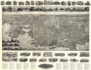
View of New London, circa 1911
The historical maps appearing above are provided courtesy of The University of Connecticut Map and Geographic Information Center.
[$RANDOM NEXT$]
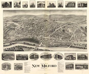
View of New Milford, circa 1906
The historical maps appearing above are provided courtesy of The University of Connecticut Map and Geographic Information Center.
[$RANDOM NEXT$]
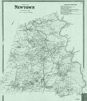
Map of Newtown, circa 1868
The historical maps appearing above are provided courtesy of The University of Connecticut Map and Geographic Information Center.
[$RANDOM NEXT$]
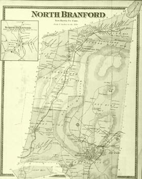
Map of North Branford, circa 1868
The historical maps appearing above are provided courtesy of The University of Connecticut Map and Geographic Information Center.
[$RANDOM NEXT$]
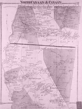
Map of Canaan and North Canaan, circa 1868
The historical maps appearing above are provided courtesy of The University of Connecticut Map and Geographic Information Center.
[$RANDOM NEXT$]
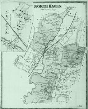
Map of North Haven, circa 1868
The historical maps appearing above are provided courtesy of The University of Connecticut Map and Geographic Information Center.
[$RANDOM NEXT$]
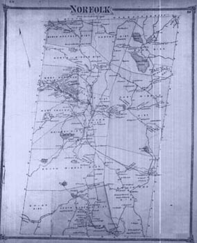
Map of Norfolk, circa 1868
The historical maps appearing above are provided courtesy of The University of Connecticut Map and Geographic Information Center.
[$RANDOM NEXT$]
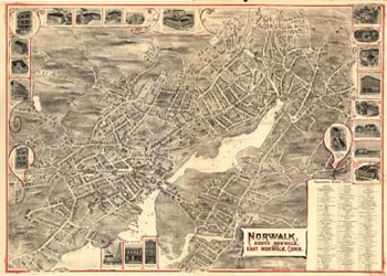
View of Norwalk, circa 1899
The historical maps appearing above are provided courtesy of The University of Connecticut Map and Geographic Information Center.
[$RANDOM NEXT$]
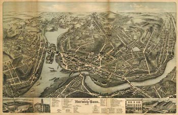
View of Norwich, circa 1876
The historical maps appearing above are provided courtesy of The University of Connecticut Map and Geographic Information Center.
[$RANDOM NEXT$]
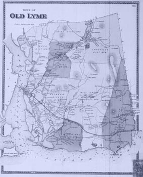
Map of Old Lyme, circa 1868
The historical maps appearing above are provided courtesy of The University of Connecticut Map and Geographic Information Center.
[$RANDOM NEXT$]
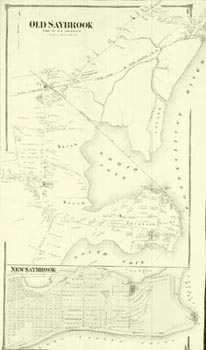
Map of Old Saybrook, circa 1868
The historical maps appearing above are provided courtesy of The University of Connecticut Map and Geographic Information Center.
[$RANDOM NEXT$]
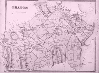
Map of Orange, circa 1868
The historical maps appearing above are provided courtesy of The University of Connecticut Map and Geographic Information Center.
[$RANDOM NEXT$]
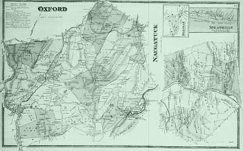
Map of Oxford and Naugatuck, circa 1868
The historical maps appearing above are provided courtesy of The University of Connecticut Map and Geographic Information Center.
[$RANDOM NEXT$]
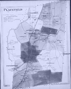
Map of Plainfield, circa 1868
The historical maps appearing above are provided courtesy of The University of Connecticut Map and Geographic Information Center.
[$RANDOM NEXT$]
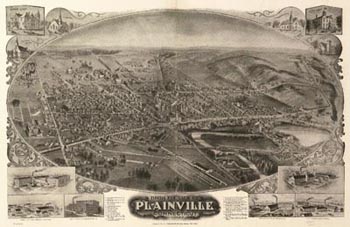
View of Plainville, circa 1907
The historical maps appearing above are provided courtesy of The University of Connecticut Map and Geographic Information Center.
[$RANDOM NEXT$]
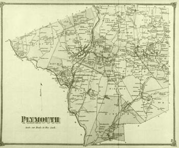
Map of Plymouth, circa 1868
The historical maps appearing above are provided courtesy of The University of Connecticut Map and Geographic Information Center.
[$RANDOM NEXT$]
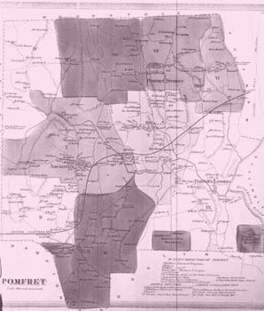
Map of Pomfret, circa 1868
The historical maps appearing above are provided courtesy of The University of Connecticut Map and Geographic Information Center.
[$RANDOM NEXT$]
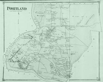
Map of Portland, circa 1868
The historical maps appearing above are provided courtesy of The University of Connecticut Map and Geographic Information Center.
[$RANDOM NEXT$]
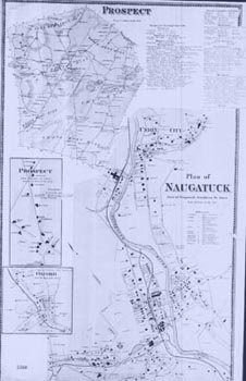
Map of Prospect, circa 1868
The historical maps appearing above are provided courtesy of The University of Connecticut Map and Geographic Information Center.
[$RANDOM NEXT$]
View of Putnam, circa 1877
The historical maps appearing above are provided courtesy of The University of Connecticut Map and Geographic Information Center.
[$RANDOM NEXT$]
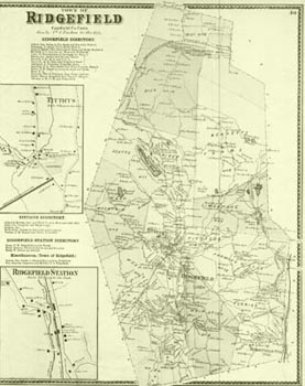
Map of Ridgefield, circa 1868
The historical maps appearing above are provided courtesy of The University of Connecticut Map and Geographic Information Center.
[$RANDOM NEXT$]
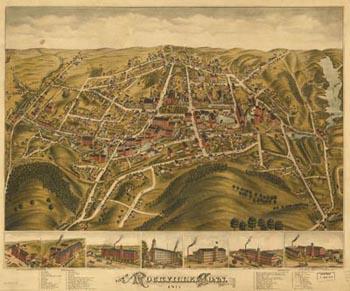
View of Rockville, circa 1871
The historical maps appearing above are provided courtesy of The University of Connecticut Map and Geographic Information Center.
[$RANDOM NEXT$]
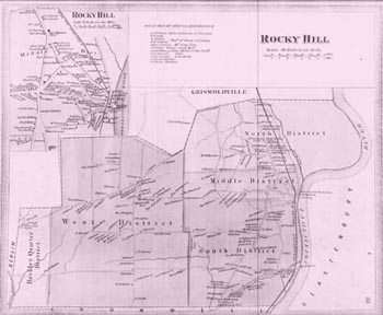
Map of Rocky Hill, circa 1868
The historical maps appearing above are provided courtesy of The University of Connecticut Map and Geographic Information Center.
[$RANDOM NEXT$]
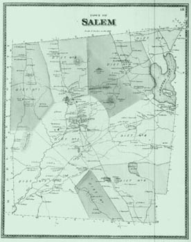
Map of Salem, circa 1868
The historical maps appearing above are provided courtesy of The University of Connecticut Map and Geographic Information Center.
[$RANDOM NEXT$]
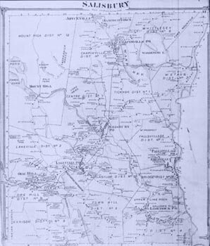
Map of Salisbury, circa 1868
The historical maps appearing above are provided courtesy of The University of Connecticut Map and Geographic Information Center.
[$RANDOM NEXT$]
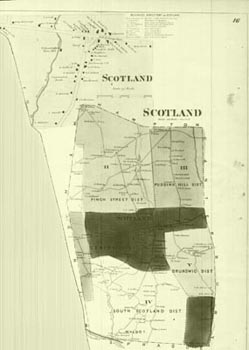
Map of Scotland, circa 1868
The historical maps appearing above are provided courtesy of The University of Connecticut Map and Geographic Information Center.
[$RANDOM NEXT$]
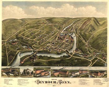
View of Seymour, circa 1879
The historical maps appearing above are provided courtesy of The University of Connecticut Map and Geographic Information Center.
[$RANDOM NEXT$]
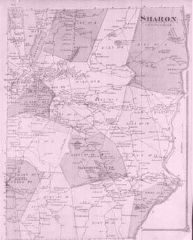
Map of Sharon, circa 1868
The historical maps appearing above are provided courtesy of The University of Connecticut Map and Geographic Information Center.
[$RANDOM NEXT$]
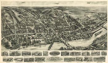
View of Shelton, circa 1919
The historical maps appearing above are provided courtesy of The University of Connecticut Map and Geographic Information Center.
[$RANDOM NEXT$]
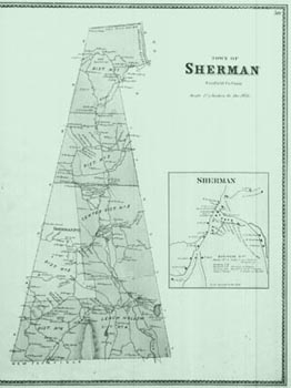
Map of Sherman, circa 1868
The historical maps appearing above are provided courtesy of The University of Connecticut Map and Geographic Information Center.
[$RANDOM NEXT$]
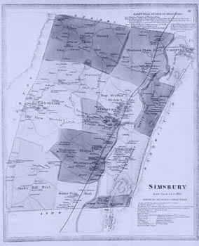
Map of Simsbury, circa 1868
The historical maps appearing above are provided courtesy of The University of Connecticut Map and Geographic Information Center.
[$RANDOM NEXT$]
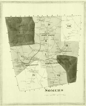
Map of Somers, circa 1868
The historical maps appearing above are provided courtesy of The University of Connecticut Map and Geographic Information Center.
[$RANDOM NEXT$]
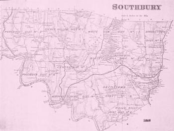
Map of Southbury, circa 1868
The historical maps appearing above are provided courtesy of The University of Connecticut Map and Geographic Information Center.
[$RANDOM NEXT$]
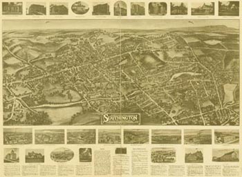
View of Southington, circa 1914
The historical maps appearing above are provided courtesy of The University of Connecticut Map and Geographic Information Center.
[$RANDOM NEXT$]
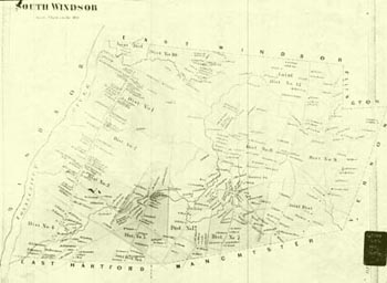
Map of South Windsor, circa 1868
The historical maps appearing above are provided courtesy of The University of Connecticut Map and Geographic Information Center.
[$RANDOM NEXT$]
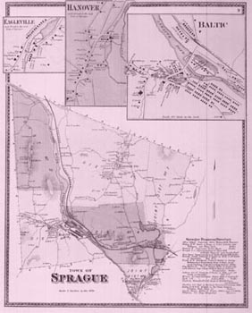
Map of Sprague, circa 1868
The historical maps appearing above are provided courtesy of The University of Connecticut Map and Geographic Information Center.
[$RANDOM NEXT$]
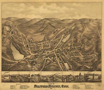
View of Stafford Springs, circa 1878
The historical maps appearing above are provided courtesy of The University of Connecticut Map and Geographic Information Center.
[$RANDOM NEXT$]
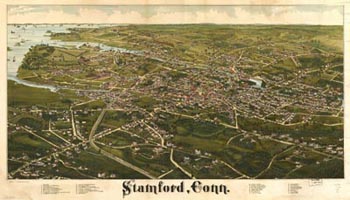
View of Stamford, circa 1883
The historical maps appearing above are provided courtesy of The University of Connecticut Map and Geographic Information Center.
[$RANDOM NEXT$]
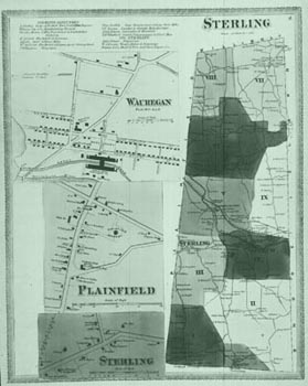
Map of Sterling, circa 1868
The historical maps appearing above are provided courtesy of The University of Connecticut Map and Geographic Information Center.
[$RANDOM NEXT$]

View of Mystic, circa 1879
The historical maps appearing above are provided courtesy of The University of Connecticut Map and Geographic Information Center.
[$RANDOM NEXT$]
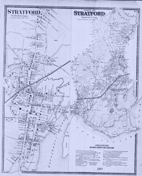
Map of Stratford, circa 1868
The historical maps appearing above are provided courtesy of The University of Connecticut Map and Geographic Information Center.
[$RANDOM NEXT$]
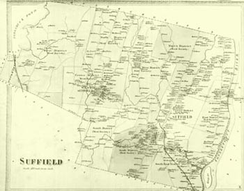
Map of Suffield, circa 1868
The historical maps appearing above are provided courtesy of The University of Connecticut Map and Geographic Information Center.
[$RANDOM NEXT$]
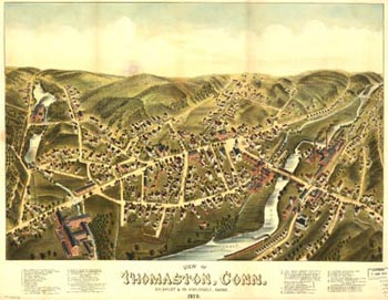
View of Thomaston, circa 1879
The historical maps appearing above are provided courtesy of The University of Connecticut Map and Geographic Information Center.
[$RANDOM NEXT$]
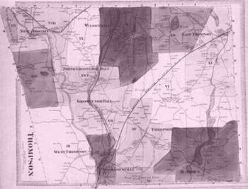
Map of Thompson, circa 1868
The historical maps appearing above are provided courtesy of The University of Connecticut Map and Geographic Information Center.
[$RANDOM NEXT$]
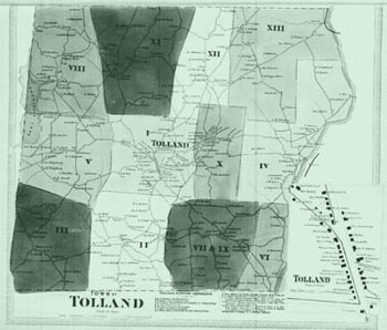
Map of Tolland, circa 1868
The historical maps appearing above are provided courtesy of The University of Connecticut Map and Geographic Information Center.
[$RANDOM NEXT$]
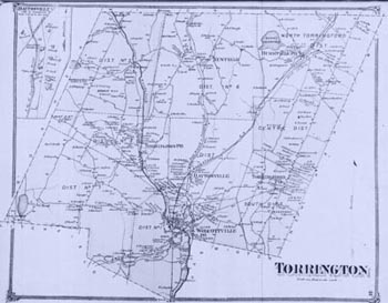
Map of Torrington, circa 1868
The historical maps appearing above are provided courtesy of The University of Connecticut Map and Geographic Information Center.
[$RANDOM NEXT$]
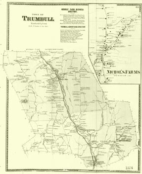
Map of Trumbull, circa 1874
The historical maps appearing above are provided courtesy of The University of Connecticut Map and Geographic Information Center.
[$RANDOM NEXT$]
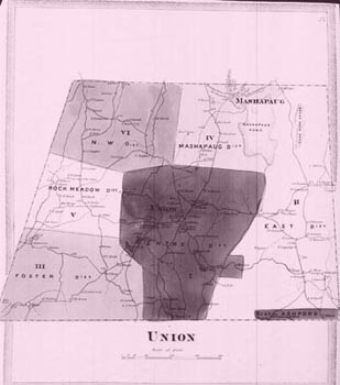
Map of Union, circa 1868
The historical maps appearing above are provided courtesy of The University of Connecticut Map and Geographic Information Center.
[$RANDOM NEXT$]
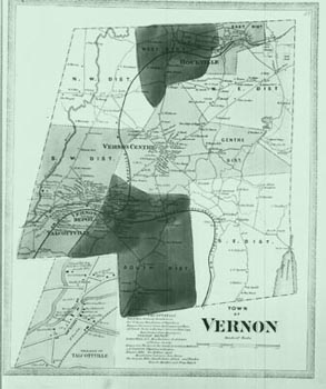
Map of Vernon, circa 1868
The historical maps appearing above are provided courtesy of The University of Connecticut Map and Geographic Information Center.
[$RANDOM NEXT$]
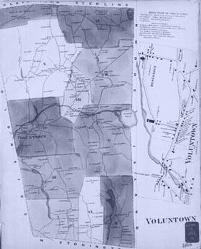
Map of Voluntown, circa 1868
The historical maps appearing above are provided courtesy of The University of Connecticut Map and Geographic Information Center.
[$RANDOM NEXT$]
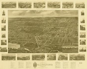
View of Wallingford, circa 1904
The historical maps appearing above are provided courtesy of The University of Connecticut Map and Geographic Information Center.
[$RANDOM NEXT$]
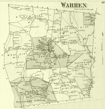
Map of Warren, circa 1868
The historical maps appearing above are provided courtesy of The University of Connecticut Map and Geographic Information Center.
[$RANDOM NEXT$]
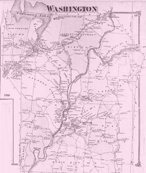
Map of Washington, circa 1868
The historical maps appearing above are provided courtesy of The University of Connecticut Map and Geographic Information Center.
[$RANDOM NEXT$]
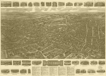
View of Waterbury, circa 1917
The historical maps appearing above are provided courtesy of The University of Connecticut Map and Geographic Information Center.
[$RANDOM NEXT$]
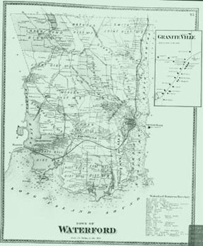
Map of Waterford, circa 1868
The historical maps appearing above are provided courtesy of The University of Connecticut Map and Geographic Information Center.
[$RANDOM NEXT$]
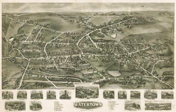
View of Watertown, circa 1918
The historical maps appearing above are provided courtesy of The University of Connecticut Map and Geographic Information Center.
[$RANDOM NEXT$]
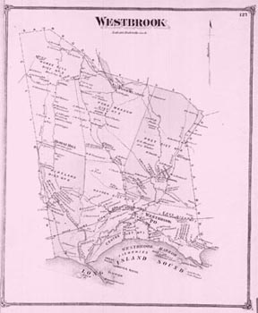
Map of Westbrook, circa 1868
The historical maps appearing above are provided courtesy of The University of Connecticut Map and Geographic Information Center.
[$RANDOM NEXT$]
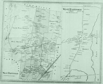
Map of West Hartford, circa 1868
The historical maps appearing above are provided courtesy of The University of Connecticut Map and Geographic Information Center.
[$RANDOM NEXT$]
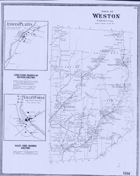
Map of Weston, circa 1868
The historical maps appearing above are provided courtesy of The University of Connecticut Map and Geographic Information Center.
[$RANDOM NEXT$]
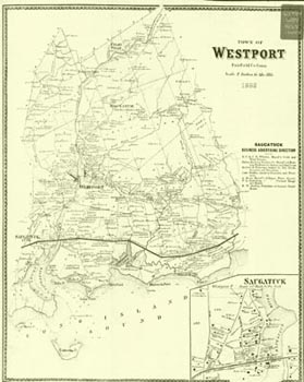
Map of Westport, circa 1868
The historical maps appearing above are provided courtesy of The University of Connecticut Map and Geographic Information Center.
[$RANDOM NEXT$]
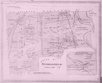
Map of Wethersfield, circa 1868
The historical maps appearing above are provided courtesy of The University of Connecticut Map and Geographic Information Center.
[$RANDOM NEXT$]
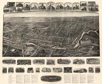
View of Willimantic, circa 1909
The historical maps appearing above are provided courtesy of The University of Connecticut Map and Geographic Information Center.
[$RANDOM NEXT$]
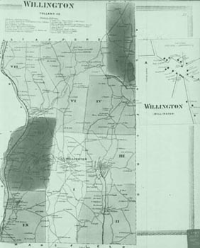
Map of Willington, circa 1850s
The historical maps appearing above are provided courtesy of The University of Connecticut Map and Geographic Information Center.
[$RANDOM NEXT$]
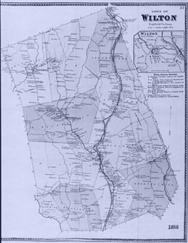
Map of Wilton, circa 1868
The historical maps appearing above are provided courtesy of The University of Connecticut Map and Geographic Information Center.
[$RANDOM NEXT$]
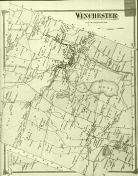
Map of Winchester, circa 1868
The historical maps appearing above are provided courtesy of The University of Connecticut Map and Geographic Information Center.
[$RANDOM NEXT$]
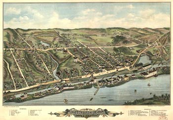
View of Windsor Locks, circa 1877
The historical maps appearing above are provided courtesy of The University of Connecticut Map and Geographic Information Center.
[$RANDOM NEXT$]
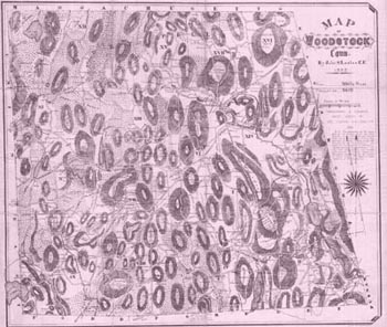
Map of Woodstock, circa 1883
The historical maps appearing above are provided courtesy of The University of Connecticut Map and Geographic Information Center.
[$RANDOM END$]
Welcome to the website of The Connecticut Siting Council.
This site is designed and formatted to assist the public in learning about this state agency, its public mission, and the statutes and regulations that govern our work. You will also find all of our past decisions as well as the record evidence of pending cases on this site.
Please also note that regular visitors of this site may wish to register for e-alerts in order to stay abreast of events such as hearings and Council meetings.
If you require additional assistance please do not hesitate to contact us. Thank you!