The Pawcatuck River Watershed

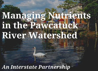
The Pawcatuck River is 31 miles long and its watershed drains an area of 69,829 acres. The watershed is mostly in Rhode Island with smaller areas located in Connecticut. The river flows from the outlet of Worden’s Pond (South Kingstown, Rhode Island) to Little Narragansett Bay in Westerly, Rhode Island and Stonington, CT. The majority of the population within the watershed primarily consists of small towns and rural communities, except for the Towns of Westerly and Stonington. These two larger communities are found in the furthest downstream area of the watershed.
Key Water Quality Issue in the Watershed
Similar to many rivers in New England today, there are significant water quality issues that cause stress to the natural resources in the Pawcatuck River Watershed. One of the most significant is nutrient pollution impacting the estuary.
Thank you to the staff and members of the SNEP program for helping to make the Pawcatuck Nutrient Project a reality!
For more details on the how CT DEEP and Rhode Island Department of Environmental Management (RIDEM) are collaborating on the Pawcatuck nutrient project and deeper explanation of nutrient pollution issues, visit the ARC GIS Story Map by selecting the image below:
Water Quality Data
- Pawcatuck River South of Route 1 USGS 01118502
- Pawcatuck River near Pawcatuck, CT USGS 01118520
- Pawcatuck River at Westerly, RI USGS 01118500
- Water Quality Data Summary
Other Reports and Information
- SNEP Project Summary Poster
- Pawcatuck River Watershed Modeling QAPP
- Pawcatuck River Watershed Simulation Plan
- Pawcatuck Sampling Plan Review
- FINAL Pawcatuck Watershed QAPP
- FINAL Pawcatuck River Watershed HSPF Modeling Report
- Comparative Analysis and Model Development for Determining the Susceptibility to Eutrophication of Long Island Sound Embayments
- Pawcatuck SNEP Report Final Sept 2 2022
Related Links:


