
Maps On Demand
Maps On Demand
The nature of map production has changed over the years. Not long ago, if you wanted a map of a given subject, you would visit a map retailer to find whether or not the map was in stock as a paper product. Low volume maps, those that dealers could not sell enough of to justify display and storage space, were often not available and certainly not in the latest editions.
With the advent of computer mapping and what seems to be an endless expansion of digital storage capacity, that scenario changed. In the past several years, many of our low volume and/or updateable maps have been converted to digital information and can be printed as needed.
This technology has enabled us to move away from physical storage space for map products, always have access to these maps, and, as importantly, print new maps as digital data bases are updated. This ability, coupled with a dedicated color map printing system, is what has become DEEP's Maps on Demand service.
Currently, regardless of demand, DEEP offers information users a variety of maps as needed or on-demand. The following titles represent the extent of the program to date. As time passes, more and more information will be available in digital form and thus become available through this service.
| Map Title | Description |
|---|---|
| Aquifer Protection Area Map | Level A and Level B sheets available at 200,000 scale |
| Drainage Basin Map | Single sheet showing both major and regional basins, town boundaries and major rivers |
| Leachate and Wastewater Discharge Maps | 9 panel set or individual sheets |
| Natural Diversity Data Base | Selected by topographic map boundary or town boundary |
| Resource Protection Map Set | 7 panel set at 200,000 scale |
| Surficial Materials Maps | Selected by topographic map boundary or town boundary |
| Water Quality Classification Maps | 9 panel set or individual sheets |
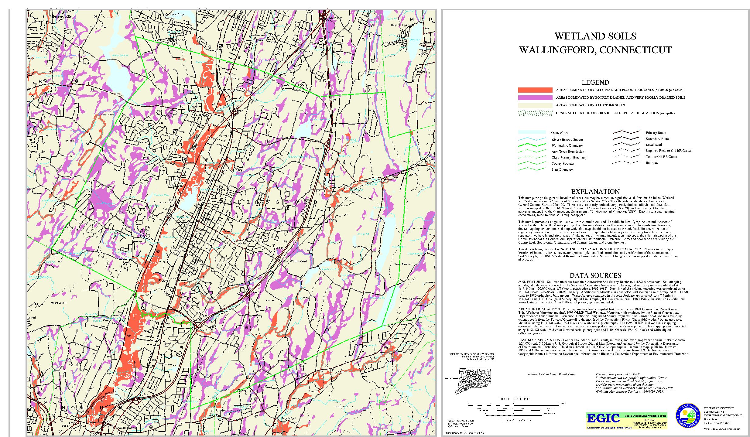
| Wetland Soils Maps (see sample above) | Selected by topographic map boundary or town boundary |
The maps produced from this service vary in size by subject and even by panel size within a given map set. However, most maps are large sheets measuring at most 36 inches wide (determined by the print width of our plotter) with the length being variable as needed to cover the subject.
The paper and inks used in the Maps On Demand process are not as durable as those used for traditional USGS lithographic products. The inks are not ultraviolet resistant or water stable. These products must be protected from high humidity and wet conditions and from prolonged and consistent exposure to the sun and other light sources. The Maps On Demand can be written on with either ink or pencil with no smudging, and they can be heat laminated with no "bleeding" of the colors.
For more information or pricing, please e-mail deep.store@ct.gov or call the DEEP Store directly at 860-424-3555.