

Saugatuck River Boat Launch
Saugatuck River Boat Launch
Westport
CTDOT is initiating a Navigation Study of the Saugatuck River. The purpose of the study is to better understand current and future vessel use, navigation practices, and considerations important to navigation along the Saugatuck River.
Please take this survey!
The Connecticut Department of Transportation invites you to take a survey on your waterway use of the Saugatuck River!
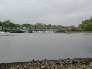
Site Sketch of the Saugatuck River Boat Launch
| Type: | Trailered |
|---|---|
| Season: | Year round |
| Address: | Elaine Road, Westport |
| Directions: | Under I-95 on the east side of river. Route 136 to Compo Road, take first right to launch. |
| Regulations: | Saugatuck River, Bermuda Lagoon, Shorehaven Marsh, harbors, and congested areas - 5 MPH limit. No waterskiing or surf-boarding in any channel. |
| Fishing Regulations: | Saltwater Fishing Guide (ct.gov) / Freshwater Fishing Guide (ct.gov) |
| Docks: | None |
| Toilets: | Chemical (Seasonal) |
| Parking Spaces: | 25 |
| Parking Surface: | Paved |
| Access Road Surface: | Paved |
| Ramp Surface: | Concrete Slab |
|
ADA Accessible: |
No |
| Additional Info: | Schedule of Marine Events and Fishing Tournaments (ct.gov), (Note: tournaments are not open to the general public) |
Select an image for larger view
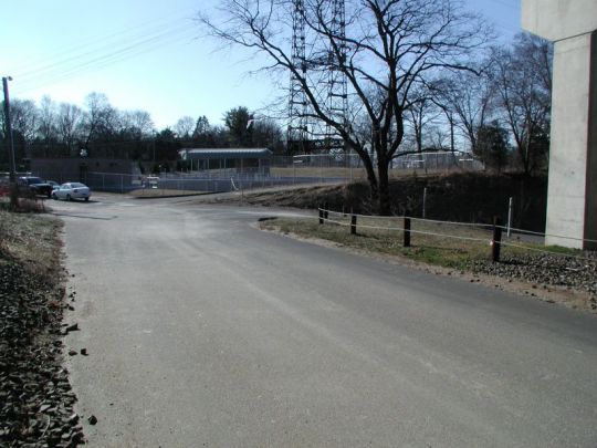
Entrance
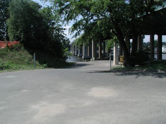
Access Road
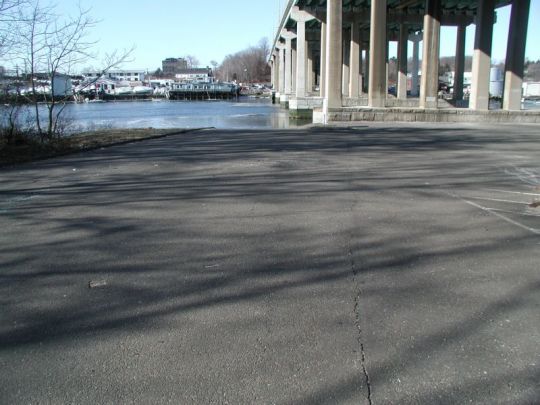
Turning Area
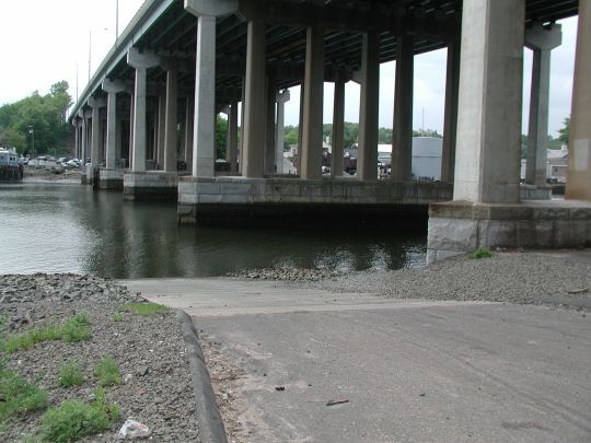
Ramp
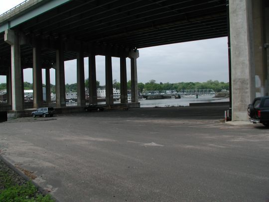
Parking
Content Last Updated on June 9. 2026