Maps and GIS Data
Maps and GIS Data
Spatial information describes the physical location of objects in space. Though often used interchangeably, geographic or geospatial information/data - defined as information that can be related to a location on the earth's surface - is a subset of spatial information. Street maps, topographic maps and nautical charts are some of the most common representations of geospatial data. Other representations of geospatial data include vegetation maps, maps of property boundaries, and maps of infrastructure such as water and sewer lines.
Knowledge of geospatial data has great importance and many varied benefits. Individuals and organizations in the public and private sector use geospatial information for activities such as recreation, natural resource management, asset management, and land use planning. Accurate and consistent geospatial data is essential in helping us manage our current resources and plan for the future.
GIS Data
DEEP GIS Open Data Site |
GIS Data Download |
CT ECO |
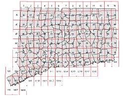
Index Maps |
more GIS Data
Recreational Maps
Hiking and Camping |
Trout Stocking |
Public Hunting Areas |
CT Coastal Access Guide |
more Recreational Maps
Resource Maps
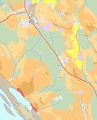
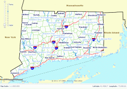
Topographic Maps |
Aquifer Protection Areas |
Endangered Species |
Aerial Photographs |
CT Grown Forest Products |
more Resource Maps
Natural History
American Shad & Landcover |
Sturgeon: Connecticut's Living Dinosaurs
Related Information
Directions to DEEP Facilities |
DEEP Store
Other Mapping Resources
NOAA |
USGS |
Flood Hazard Mapping (FEMA) |
Wetlands Mapper (USFWS) |
National Geographic Mapmaker