
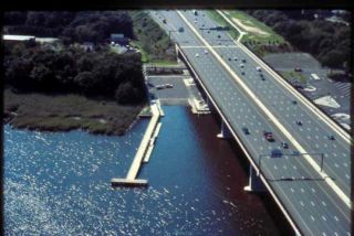
Baldwin Bridge Boat Launch
Baldwin Bridge Boat Launch
(Connecticut River) Old Saybrook
Attention lower Connecticut River boaters!
Construction is complete and CT DEEP has reopened the State Boat Launch. The docks have been replaced and new gangways have been installed. Thank you for your patience, and have a great boating season!!
| Type: | Trailered & Car Top/Carry-In |
|---|---|
| Season: | Year-round |
| Address: | 220 Ferry Road, Old Saybrook |
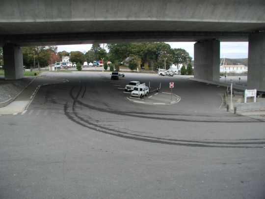
| Directions: | Rte. 9 south, take exit 2 and turn left. Take the first right onto Ferry Road. Rte. 2 north, take exit 1 and turn right onto Ferry Road. Launch located under the I-95 bridge on Ferry Road. |
| Regulations: |
(A) A 25 MPH nighttime speed limit from 1/2 hour after sunset until 1/2 hour before sunrise on all days of the year. No person shall operate a motorboat in excess of Slow-No-Wake: (A) From the Bulkeley Bridge in Hartford to Saybrook outer light in Old Saybrook; when passing marinas, yacht clubs, anchorages and docks, boat launches and congested areas. (B) Within the following specific areas:
|
| Fishing Regulations: | Saltwater Fishing Guide (ct.gov) / Freshwater Fishing Guide (ct.gov) |
| Docks: | Floating & Fixed Wood (Year-round) |
| Toilets: | Chemical (Seasonal) |
| Parking Spaces: | 75 |
| Parking Surface: | Paved |
| Access Road Surface: | Paved |
| Ramp Surface: | Concrete Slab |
| ADA Accessible: | Yes |
| Additional Info: |
Fishing pier located on site.
Schedule of Marine Events and Fishing Tournaments (ct.gov), (Note: tournaments are not open to the general public) |
Select an image for larger view

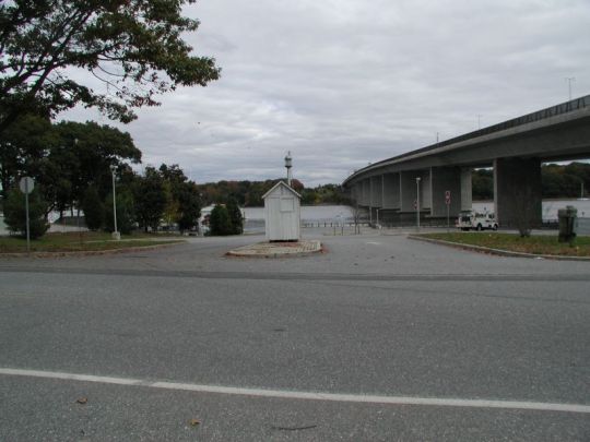
Entrance
Access Road
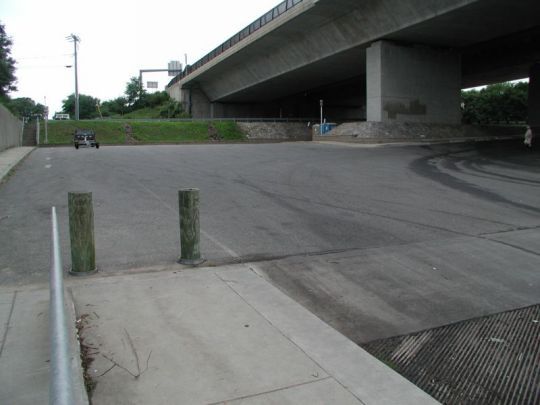
Turning Area
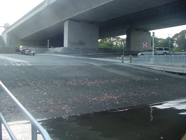
Ramp
Parking
Content Last Updated on June 12, 2026