Air Line State Park Trail
Multi-Town, CT


Activities
Overview
Body
KNOW BEFORE YOU GO
SOUTHERN SECTION
Portland – Windham (31 miles)
Colchester Spur (3.6 miles)
Maps
- East Hampton to Windham
- Portland
- East Hampton/Colchester
- Colchester/Hebron
- Colchester/Hebron/Lebanon
- Lebanon/Windham
- Hop River State Park Trail Connection
- Trail map/brochure for East Hampton, Colchester, Hebron, and Lebanon
Trailhead Parking
Portland
- 82 Middle Haddam Road
East Hampton
- Smith Street, near intersection with Flanders Road
Colchester
- Route 149 near Route 2
- Bull Hill Road, .3 miles north of River Road intersection
- River Road, near intersection with South Street
- Along River Road, 0.4 mile west of intersection with Route 149
- Along Old Hartford Road, 0.1 mile east of intersection with Jones Street
Hebron
- Along Old Colchester Road. 300 feet north of Heron Hill Road
- Church Street (Route 85) one half mile south of intersection with Route 207
- Lebanon Road (Route 207) 0.35 miles east of intersection with Route 85
Columbia
- Along west side of Route 87, about 250 feet north of Columbia/Lebanon town lines
Lebanon
- Leonard Bridge Road, 0.35 miles north of intersection with Tobacco Street
- Chesbro Bridge Road, 0.1 miles north of intersection with Tobacco Street
- Along Cook Hill Road, 0.4 mile south of its intersection with Synagogue Road
- Along Kingsley Road, 0.4 miles west of the Windham/Lebanon town line
NORTHERN SECTION
Windham – Putnam (21 miles)
Thompson – Mass. State Line (6.6 miles)
Maps
- Windham to Thompson
- Windham/Chaplin/Hampton
- Chaplin/Hampton/Pomfret
- Pomfret
- Pomfret/Putnam/Thompson Bypass
- Thompson
Trailhead Parking
Windham
- Along Beaver Hill Road at Windham Road (Route 203)
Chaplin
- Intersection of Chewink and Lynch Roads
Hampton
- Potter Road, 0.6 mile north of intersection with Route 6 in Goodwin State Forest
Pomfret
- Pomfret Station, 13 Railroad Avenue (off Route 169)
- West side of Pomfret Town Office, 455 Mashamoquet Road (Route 44)
- Pomfret Senior Center, 207 Mashamoquet Road (Route 44)
Thompson
- 121 Riverside Drive, Route 12, Mechanicsville
- Along 388 Sand Dam Road
- 662 East Thompson Road, near the junction of New Road
Hiking
Other
Winter
Additional Park Info
Fees
Free
Accessibility
Sections in East Hampton, Colchester & Hebron, CT
Pets
Yes, on leash

While You’re Here


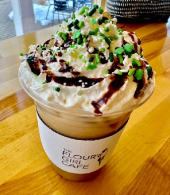
The Flower Girl Bakery & Cafe

Pete's Pub


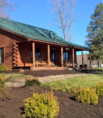
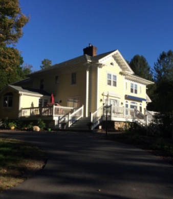
Amston Manor B&B

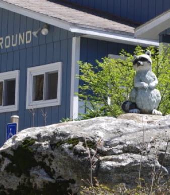
Lake Williams Campground
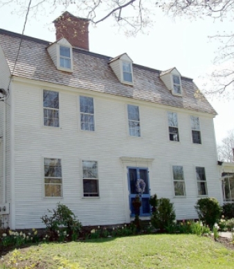


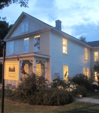
Zagray Farm Museum

Evergreen Acres Tree Farm